Posts

Showing posts from July, 2019

Idaho and Montana Trip Summary

Image
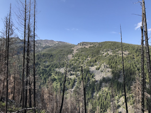
Great mid-summer trip to Idaho and Montana.  1423 miles driven across 3 states (UT, ID and MT) and 60 miles of hiking.  Best of all, 6 days with Tom and Jim, best friends from Racine, WI!  Boulder Point, MT shown below.

Hell’s Half Acre

Image
Lava trail. Near Pocatello, ID. Same lava flow as Craters of the Moon.

Lemhi Pass

Image
Continental Divide Trail. Lewis and Clark travelled this way. Salmon-Challis NF. Near Tendoy, ID.

Nelson Ridge

Image
Bitterroot NF. Near Conner, MT. 

Baker Lake

Image
Bitterroot NF, near Conner, MT. 

Nez Perce Pass

Image
View of of Watchtower and Jerusalem Peaks from Divide Trail north. Bitterroot NF, near Conner, MT. 

Nez Perce Ranch

Image
Nez Perce branch of Bitterroot River. Near Conner, MT. 

Boulder Point

Image
Above School Point. View of Trapper Peak. Near Conner, MT. 

Painted Rock Lake

Image
West Fork Bitterroot.

Castle Rock

Image
Approach to Nez Perce Pass.  Bitterroot NF. Near Conner, MT. 

Boulder Creek

Image
Selway-Bitterroot Wilderness Area. Near Darby, MT. 

Lost Trail Pass

Image
Bitterroot NF, ID/MT border. 

Freeman Peak

Image
Salmon NF. Near Salmon, ID. 

Mt. Borah Trail

Image
Challis NF, near Mackay, ID. Highest peak in ID at 12,662'. 

Lost River Mountains

Image
From White Knob foothills. Challis NF, near Arco, ID. 

Craters of the Moon National Monument

Image
40 mile lave flow from the ground. Near Arco, ID.