Posts

Showing posts with the label Utah

Cross-Country East to West 2021

Image
Great one-way spring trip across the US to deliver a car to Tahoe City, CA!  We took a leisurely 10 days to make the journey.  Then we topped it off with a week at Lake Tahoe before flying home.  Canyonlands NP in Utah and US 50 across Nevada were two highlights for me. 2800 miles to Lake Tahoe and another 230 miles driving to various trails, etc. around Lake Tahoe.  90 miles of hiking along the way and at the lake. Below, a dusting of spring snow above the Truckee River with Lake Tahoe in the background.  Twin Crags trailhead.  Tahoe NF, near Tahoe City, CA. And beautiful view of Front Range Rockies coming in to Denver on the way home.  Believe that is Longs Peak in Rocky Mountain National Park in the right foreground!

Mesa Arch

Image
Islands in the Sky district of Canyonlands National Park. Looking down towards Colorado River. Near Moab, UT. 

Canyonlands

Image
From Needles Overlook. Needles district of park in the distance. Near Moab, UT. 

Cross-Country 2020

Image
 One-way opportunity from Salt Lake City, UT to Birmingham, AL.  2080 miles travelled in 7 days.  40 miles hiked along the way in UT, CO, NM, OK and MS. Conejos River valley at sunset.  Near Antonito, CO.

Horse Canyon

Image
Roan Cliffs.  Near East Carbon, UT.

Hiawatha Hill

Image
Manti-LaSal NF. Near Price, UT.

Utah Trip Summary - Uinta Mountains

Image
Great trip to the Uintas in late Spring.  Still a lot of snow in the mountains!  The roads that penetrate deep or cross the high country were closed, so it was a challenge to get to the places I had hoped.  Nonetheless, the intermediate level Uintas are beautiful with distant views of the high country.  1057 miles driven over 8 days.  55 miles of hiking over 7.  A little bit of time spent in CO and WY as well, as I circumnavigated the Uintas.

Parrish Creek Trail

Image
View of Great Salt Lake.  Above Centerville, UT.

Whiskey Creek Trail

Image
Bear River Valley, Ashley NF. Near Evanston, WY.  Whiskey Creek was raging!

High Uintas

Image
Henrys Fork TH.  Ashley NF, near Lonetree, WY. 

Sheep Creek Canyon Geologic Area

Image
Near Manila, UT.

Dowd Mountain

Image
and Dowd's Hole. Ashley NF, near Manila, UT.  Plus beautiful Flaming Gorge overlook!

Canyon Rim Trail

Image
Off Hwy 44, near Manila, UT.

Harper’s Corner

Image
Dinosaur National Monument. Near Dinosaur, CO. Near confluence of Yampa and Green Rivers. 

Dry Fork Overlook

Image
Ashley NF, near Vernal, UT.

Petroglyphs

Image
McConkie Ranch near Vernal, UT.  Speculation is Fremont Culture, between 1-1200 AD.

Red Fleet

Image
State Park near Vernal, UT.  Known for dinosaur trackways (fossilized footprints).

Marsh Peak Approach

Image
Summit is 12,189'.  Ashley NF, near Vernal, UT. Too much snow, can't get close. 

Bull Canyon Rim Trail

Image
Dinosaur National Monument, near Jensen, UT. 

Wall Lake

Image
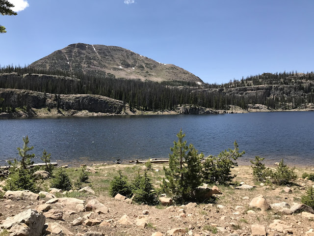
Mirror Lake Scenic Byway.  Crystal Lake Trailhead.  Wasatch NF. The Utah and Wyoming trip was fabulous!  ~ 1300 miles driving over 8 days and 75 miles or so of hiking.  Biggest takeaway: the Uintas are tough to penetrate!