Posts

Showing posts from August, 2020

Lake Tahoe Trip Summary

Image
Great trip to Lake Tahoe in the summer!  We only hiked and biked, but water sports are also prevalent with SUP, kayak, sailing and powerboat options.  118 miles of hiking, ~ 75 miles biking, and 725 miles driving over 14 days!  Our apartment in Dollar Point was ideal, with lots of hiking and biking right out the front door.  

Alpine Meadows

Image
Among the lifts. Near Tahoe City, CA. 

Incline Village to Sand Harbor Bike Ride

Image
Along the shores of Lake Tahoe.  Near Incline Village, NV.

Mount Watson

Image
Above Dollar Point. Near Tahoe City, CA. 

Stateline Fire Lookout

Image
Near Crystal Bay, NV. 

Gold Star Peak

Image
Near Brockway Summit. Above Kings Beach, CA.

Armstrong Pass ~ 9600’

Image
Armstrong Pass approach to Freel Peak (10,900’). Toiyabe NF. Near South Lake Tahoe, CA. 

Sugar Pine Point State Park

Image
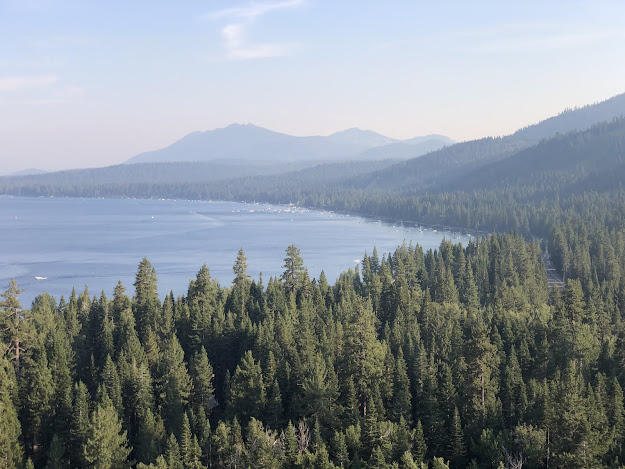
View of distant south shore of Lake Tahoe. Near Tahoma, CA. 

Page Meadows

Image
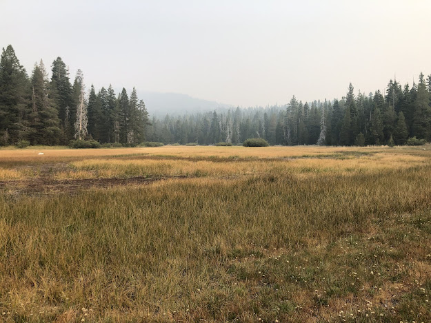
Tahoe Rim Trail, near Tahoe City, CA. Hazy, smoky day in the Sierras.

Highlands Meadows

Image
Near Dollar Point, CA. Mt. Watson (8424') in the distance. 

Rose Knob Peak - 9710’

Image
Made it as far as the saddle below peak. Smoky in the basin today. Toiyabe NF. Near Incline Village, NV. 

Eagle Rock

Image
Short hike to beautiful views of Lake Tahoe!  Near Tahoe City, CA.

Dollar Point Trails

Image
Approach to Mt. Watson. Near Tahoe City, CA. A little hazy due to heat and smoke from wildfires.