Posts

Showing posts from March, 2021

Southeastern Arizona Trip Summary
Image
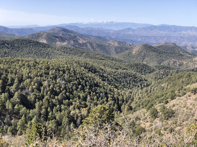
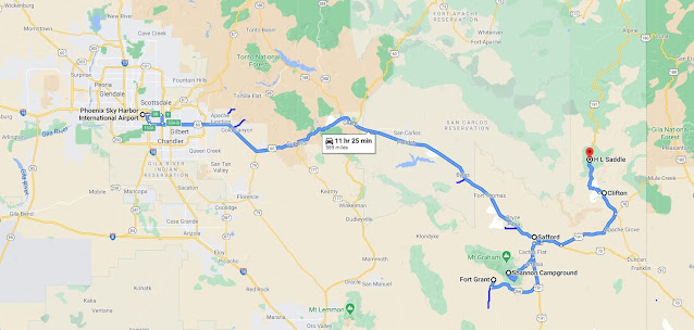
 Beautiful early spring trip to the desert Southwest.  Weather was mild but I was still able to find a little snow for snowshoeing! 64 miles of hiking/shoeing and 890 miles driven over 8 days. Below is an afternoon view of Grey Peak, near HL Saddle.  To the distant north are the White Mountains.  Have to plan to visit those on another trip!

Lost Dutchman

Image
Mild evening at the state park.

Red Knolls

Image
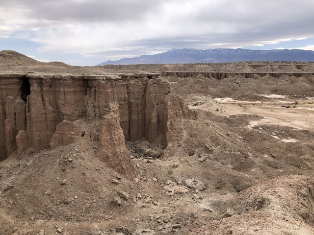
Near Pima, AZ.

Black Hills North

Image
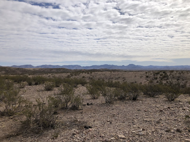
Scenic byway near Clifton, AZ. 

Granville Trail #572

Image
Views east towards Mogollon Mountains in New Mexico. Apache NF. Near Morenci, AZ.

Spur Cross Trail

Image
Apache NF. Near Morenci, AZ. 

Big Tree Trail

Image
Largest reported Arizona Cypress growing in US. 181" circumference at base and 97' high. Apache NF. Near Morenci, AZ. Views to Mt Turnbull from approach. 

Spur Cross Trail

Image
Apache NF. Near Morenci, AZ. 

Old Highway Trail

Image
Looking east towards New Mexico. Apache NF.  Near Morenci, AZ. 

HL Saddle Trail

Image
Apache NF. Near Morenci, AZ. Mt Graham in the distance. 

Pigeon Creek Trail #301

Image
Apache National Forest. Near Morenci, AZ. 

Black Hills Byway

Image
Off Hwy 191. Near Safford, AZ. 

Ladybug Peak

Image
Snowshoes needed on north slopes. Veach Ridge and Dutch Henry access snowed in. Coronado NF, near Safford, AZ. 

Heliograph Peak

Image
Snowshoe at 10000'!  Coronado NF, near Safford, AZ. 

Ladybug Trail

Image
Coronado NF, off Hwy 366. Near Safford, AZ. 

Greasewood Mountains

Image
Coronado National Forest. Above Stockton Pass. Near Fort Grant, AZ. 

Superstition Mountains

Image
East of Phoenix, near Gold Canyon, AZ. Peralta Trailhead.