Posts

Showing posts from December, 2024

Arizona Trip Summary

Image
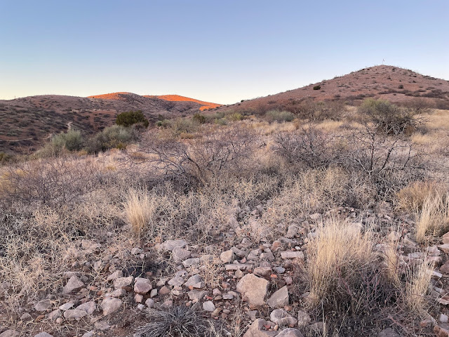
Nice late-Fall trip to Eastern Arizona's White Mountains, plus the Apache and Pinal Mtns. en route. 579 miles driven and 56 miles hiked over 7 days. Weather was sunny and cool, mostly in the 50s and 60s. I spent the night in Globe, Springerville, Show Low and Globe again. One of the highlights were the expansive views from Carol Spring Mtn.  This view is toward the Salt River Canyon and the White Mountains beyond.

Picket Post Mtn

Image
Arnett Cyn Trail. Tonto NF, near Superior, AZ. 

Round Mountain

Image
Local park in Globe, AZ. 

Pinal Mtns

Image
Tonto NF FR 112, near Globe, AZ. 

Carol Spring Mtn

Image
Tonto NF, just south of Salt River Canyon. North of Globe, AZ. 

Salt River Canyon

Image
Between Show Low and Globe, AZ. 

Porter Mtn

Image
Vistas of White Mountains. Apache NF, near Show Low, AZ. 

Pole Knoll

Image
View of Sunrise Ski and Mt. Baldy Wilderness. Recreation area in Sitgreaves NF. Near Eagar, AZ.

Browns Park

Image
Sublime. Sitgreaves NF, near Eagar, AZ. 

Flat Top Mountain

Image
Views in all directions! Sitgreaves NF, near Eagar, AZ. 

Water Canyon

Image
Overland Trail. Apache NF, near Eagar, AZ. 

Milligan Knoll

Image
Saffell Canyon TH. Escudilla Mtn. on left. Apache NF, near Eagar, AZ.

Becker Lake

Image
Wildlife area near Springerville, AZ. 

Mogollon Rim

Image
From Buena Vista Trail, Sitgreaves NF. Near Show Low, AZ. 

Jackson Butte

Image
Tonto NF, near Globe, AZ. 

Round Mountain

Image
East Trail, near Globe, AZ. 

Picket Post Mountain

Image
Tonto NF, near Superior, AZ. 

Altamaha River Bluff

Image
Sansavilla WMA, near Mt. Pleasant, GA. River level 7.55'. 

Alex Creek

Image
Tributary of Altamaha River. From Williamsburg Landing. Sansavilla WMA, near Mt. Pleasant, GA.  Water level 8.15'.