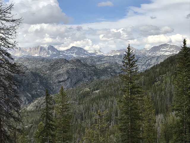
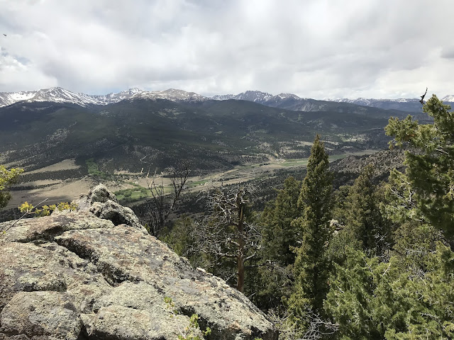
Posts

Wall Lake

Image
Mirror Lake Scenic Byway.  Crystal Lake Trailhead.  Wasatch NF. The Utah and Wyoming trip was fabulous!  ~ 1300 miles driving over 8 days and 75 miles or so of hiking.  Biggest takeaway: the Uintas are tough to penetrate!

Lofty Lake Loop

Image
From the Pass Lake TH. On Mirror Lake Scenic Byway.  Western edge of the Uintas.  Below is Lofty Lake, at the high point of the trail. From this spot you can see four major river drainages start: the Bear River (goes North), the Duchesne River (South), the Provo River (Southwest) and the Weber River (Northwest).  Picture below is looking South down the Duchesne River valley.

New Fork Lakes

Image
Bridger Teton NF. About 15 miles north of Pinedale, WY.

Photographer’s Point

Image
On the Pole Creek Trail.  Bridger Teton NF. Outside Pinedale, WY.  Beautiful meadows, or "parks" as they're called on the map.  This is called Miller Park, on the way to Photographer's Point.

Wind River Range

Image
Outside of Pinedale, WY.  Fremont Peak is left center.

East Slope of Uintas

Image
Highline trail off 191.  Ashley NF. Headed west. 

Whiterocks Basin

Image
Chepeta Trail head. Ashley NF.

Lakeshore Basin

Image
From Leidy Pass. Ashley NF.

Leidy Peak Trail

Image
View of Marsh Peak from Leidy flank. Ashley NF. 40 miles from Vernal. 

Red Fleet SP

Image
Rock formations that remind us of ships?  10 miles North of Vernal, UT.

Nobletts Trailhead

Image
Ashley National Forest. Just east of Woodland, UT.  Good first hike! 

Chief Mountain

Image
Arapaho NF. Amazing hike, close to Denver! Peak is 11,700. Mt. Evans in the distance.  What a state Colorado is!  950 miles driving in 9 days, and I barely scratched the surface!

Sawatch Vista

Image
From the Mosquito Range, just outside of Leadville, CO.  Mt Elbert in left center, Mt Massive in right center.  Snowshoeing in shorts!

Arkansas River

Image
Just north of Buena Vista, CO.  Approximately 1100 miles from where it joins the Mississippi south of Memphis, TN.  

Arkansas River Valley

Image
San Isabel NF, near Buena Vista, CO. 

Monarch Pass

Image
From the Continental Divide trail.

Ohio Pass

Image
Gunnison NF. Top of Ohio Creek Road.

Beaver Ponds

Image
West Elk Wilderness, Gunnison NF. Near the top of Ohio Creek Road.

Gunnison State Wildlife Area

Image
Just a few miles outside Gunnison, CO.

Snodgrass Mountain

Image
Crested Butte Land Trust Trail. Beautiful views of ski area and town!

West Elk Mountain

Image
Ohio Creek Valley. Gunnison NF.

Summerville Trail

Image
Henry Peak. Fossil Ridge Wilderness, Gunnison NF.

Fossil Ridge Trail

Image
Fossil Ridge Wilderness, Gunnison NF. 

Lamphier Lakes

Image
Too much snow!  Did not make it to lake. Gold Creek trailhead, Fossil Ridge Wilderness, Gunnison NF. About 25 miles from Gunnison, CO. 

Hartman Rocks

Image
Extensive network of roads, biking and hiking trails just outside Gunnison, CO. 

Cottonwood Pass

Image
Continental Divide Trail, looking west toward Crested Butte. San Isabel NF, near Buena Vista, CO. Most of the day was on snowshoes!

Leadville National Fish Hatchery

Image
Fish pond at the base of Mount Massive (right).  Mt. Elbert is in the left background. Spectacular forest here!  Hatchery has short, medium and long loop options for day hikes!
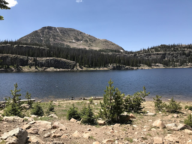
Mineral Belt Trail

Image
Warm-up hike. Leadville, CO.  Great bike trail, loops around and through town.  Leadville sits at 10,000'!

Couper Plantation

Image
At Cannon's Point Preserve, St. Simons Island, GA.  And beautiful views in to the Altamaha River delta.

Cumberland Island National Seashore

Image
16.6 miles of beaches! And beautiful oak canopy in the maritime forest. Ferries depart daily from St. Mary's, GA.