Posts

Mt Shavano

Image
From Angel of Shavano TH. San Isabel NF. Near Salida, CO.

Continental Divide Trail

Image
At Monarch Pass.  Looking west toward Tomichi Dome. Near Salida, CO.  

Ohio Pass View

Image
Looking toward West Elk Wilderness, Gunnison NF. Near Gunnison, CO.  

Doctor’s Park Trail

Image
Gunnison NF. Near Almont, CO. 

Almont Hills

Image
Above Almont, CO. Great views towards Crested Butte.  Walk to trailhead from town!

Almont Triangle

Image
From unnamed peak above Almont, CO. Gunnison NF.  View of Fossil Ridge Wilderness Area in the distance.  

Red Mountain Meadows

Image
From Red Mountain trailhead. Gunnison NF, north of Taylor Park Reservoir, CO. 

Independence Gulch

Image
Uncompaghre Wilderness and NF. Near Lake City, CO.

Trailriders Trail

Image
From Copper Creek TH.  Gunnison NF.  Near Crested Butte, CO. Gothic Mountain vista. 

Cottonwood Pass

Image
Above Ptarmigan Lake. San Isabel NF. Near Buena Vista, CO. Good warm-up hike for the coming days!

Lake Tahoe Trip Summary

Image
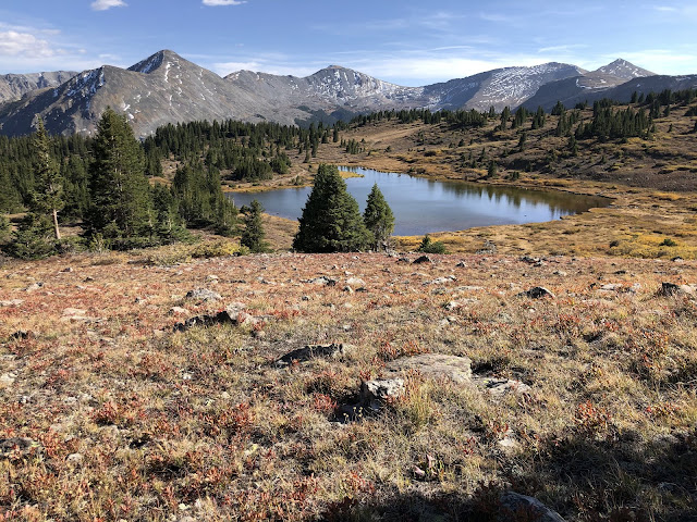
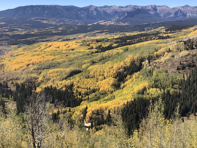
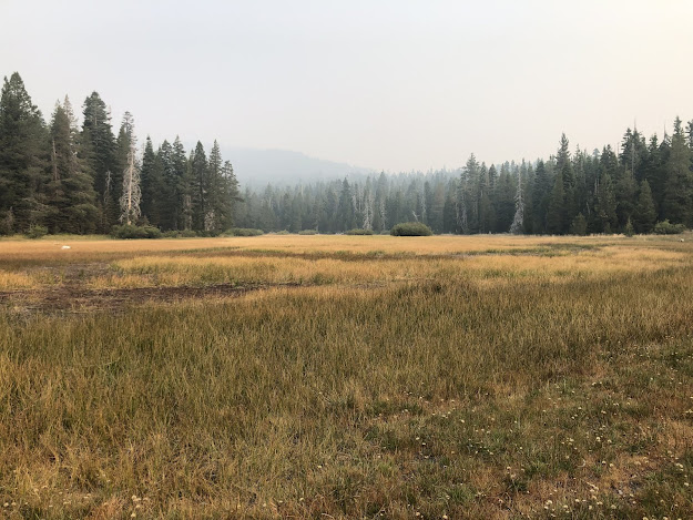
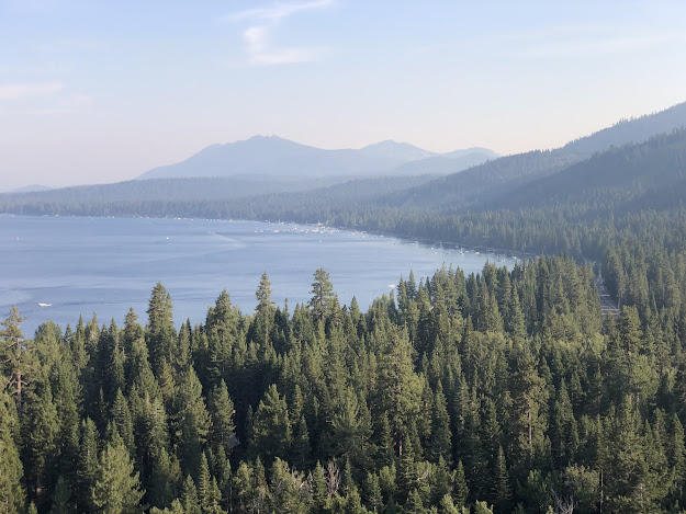
Great trip to Lake Tahoe in the summer!  We only hiked and biked, but water sports are also prevalent with SUP, kayak, sailing and powerboat options.  118 miles of hiking, ~ 75 miles biking, and 725 miles driving over 14 days!  Our apartment in Dollar Point was ideal, with lots of hiking and biking right out the front door.  

Alpine Meadows

Image
Among the lifts. Near Tahoe City, CA. 

Incline Village to Sand Harbor Bike Ride

Image
Along the shores of Lake Tahoe.  Near Incline Village, NV.

Mount Watson

Image
Above Dollar Point. Near Tahoe City, CA. 

Stateline Fire Lookout

Image
Near Crystal Bay, NV. 

Gold Star Peak

Image
Near Brockway Summit. Above Kings Beach, CA.

Armstrong Pass ~ 9600’

Image
Armstrong Pass approach to Freel Peak (10,900’). Toiyabe NF. Near South Lake Tahoe, CA. 

Sugar Pine Point State Park

Image
View of distant south shore of Lake Tahoe. Near Tahoma, CA. 

Page Meadows

Image
Tahoe Rim Trail, near Tahoe City, CA. Hazy, smoky day in the Sierras.

Highlands Meadows

Image
Near Dollar Point, CA. Mt. Watson (8424') in the distance. 

Rose Knob Peak - 9710’

Image
Made it as far as the saddle below peak. Smoky in the basin today. Toiyabe NF. Near Incline Village, NV. 

Eagle Rock

Image
Short hike to beautiful views of Lake Tahoe!  Near Tahoe City, CA.

Dollar Point Trails

Image
Approach to Mt. Watson. Near Tahoe City, CA. A little hazy due to heat and smoke from wildfires.

Adirondacks Trip Summary

Image
Awesome trip to upstate New York by car!  3200 miles driven over 19 days.  86 miles of hiking, 30 of biking and about another 50 of kayaking kept us busy.  Beautiful, cool weather while in New York. Hudson River just below 28N bridge.

Stone Mountain State Park

Image
Granite pluton near Elkin, NC. 

Saranac River

Image
Beautiful float down this lazy river. From village to Moose Pond trailhead. Near Saranac Lake, NY. 

Adirondack High Peaks View II

Image
View from top of Mt Van Hoevenberg.  Mts Marcy, Colden and Algonquin are the big three.   Near Lake Placid, NY. 

St. Regis Canoe Area

Image
From Hoel to Turtle to Slang to Long Ponds.  Four ponds, 3 carries.  Beautiful day on the water!  Near Saranac Lake, NY.

Adirondacks High Peak View

Image
From Mt. Pisgah ski area. Whiteface Mountain is highest peak in distance. In Saranac Lake, NY. 

Lake Clear

Image
Nice kayak from outlet to lake. Sandy bottom and crystal clear water. Near Saranac Lake, NY.